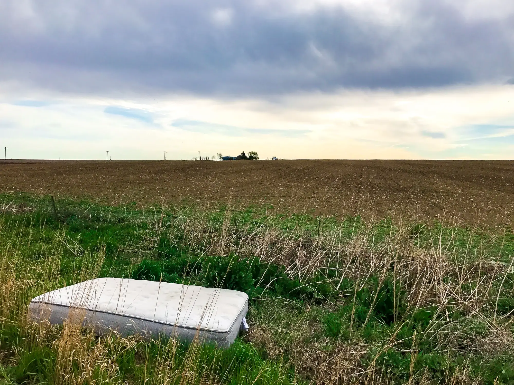
A complaint lands on your desk. Verge off the B-road, bin bags, a mattress, maybe half a dozen tyres. Nobody saw who dumped it, and you've got four other reports sitting in the same queue. Before you commit a crew to drive out, you want to know how much of this file you can build without putting boots on the site first.
Partly, yes. You can establish a timeline and work out which sites need a visit this week from imagery alone. You can't close a prosecution file that way. Someone still has to stand on the land with a camera.
What a court file needs
A solicitor building a fly-tipping case wants a handful of things, and they're not all the same kind of evidence. A date range, roughly when the waste first appeared and how long it's been sitting. Proof of the land itself: who owns it, whether it's public or private. A description of the contents, volume, type, whether anything hazardous is in there. A chain of custody for any photo used as an exhibit, showing where it came from and that nobody's touched it up. And ideally something tying the waste to a person, a vehicle registration on a camera, a name on an envelope in the pile, a witness.
Overhead imagery is strong on the first point and basically silent on the rest.
What counts as imagery evidence in a fly-tipping case
Courts care about provenance before they care about resolution. Where did the image come from, when was it taken, and is there an unbroken record showing nothing's been edited. A quarterly pass compared against the previous one gives you something defensible: this footprint wasn't here on one date and was there by the next. That's useful for ruling out the "it's always been there" line and for pinning down roughly when the dumping happened.
What it won't give you is bag contents, hazard labelling, or anything you could point to and say "that's asbestos sheeting" or "that's clinical waste." For that you need ground-level photography, close, dated, with something in frame for scale, ideally geo-tagged to the spot.
Putting the pack together in the right order
The sequence that saves time looks like this. Start with the overhead comparison and flag what's new or what's grown since the last sweep. Use that to decide which site gets the crew first, the one that's doubled in footprint since last quarter rather than whichever complaint came in loudest this morning. Then send someone out to photograph contents, measure the pile, note any paperwork or correspondence buried in it, and collect a sample if it looks hazardous. The overhead record and the ground photography together become the exhibit: a timeline from the imagery, cross-referenced against a dated ground inspection that fills in what's in the pile.
Skipping the ground visit
No, and nobody's trying to sell you otherwise. A court file needs contemporaneous ground photography and, where you can get it, a witness statement. Overhead imagery corroborates the timeline. It doesn't replace an officer with a camera and a notebook standing next to the thing.
Where it does earn its keep is before that stage. An officer who used to drive out to every reported pile, in the order the calls came in, now knows which three sites grew this quarter and which one's been sitting there, unchanged, since spring. The guesswork comes out of the first half of the job, long before anyone reaches for a camera.
If you're working through a backlog of reported sites and want to know which ones moved since last quarter before you send anyone out, a quarterly sweep across your verges, quarries and vacant plots flags the new ground against the old so the crew goes where the waste is.